

FLYCRE
A platform for commercial real estate property inspections done via drone, taking a property from inspection request to a full 3D rendering, connecting clients, pilots, and admins on one system.
- Industry:
- Aviation and Commercial Real Estate
- What we built:
- Multi-portal platform with a self-hosted 3D processing pipeline
The challenge
Getting a commercial property inspected by drone involves three groups who rarely share a system: the clients who need the inspection, the pilots who fly it, and the administrators who coordinate the whole thing and assign the work. Without one platform tying them together, that coordination happens over phone, email, and file transfers, requests get lost, footage is scattered, and there's no clean path from "we need this property flown" to a finished, usable result.
And the finished result is the hard part. Raw drone footage isn't the deliverable. What a commercial real estate client actually needs is processed intelligence: a true 3D rendering of the site, thermal maps, elevation, and the other metrics that make the flight worth doing. That processing had to be a real, reliable part of the platform, not a manual afterthought.
What we built
We built FLYCRE, a platform that runs the entire commercial real estate inspection lifecycle, conducted via drone, across three connected portals on one shared backend, and turns raw footage into a full 3D rendering through a processing pipeline we integrated and self-host.
How it works
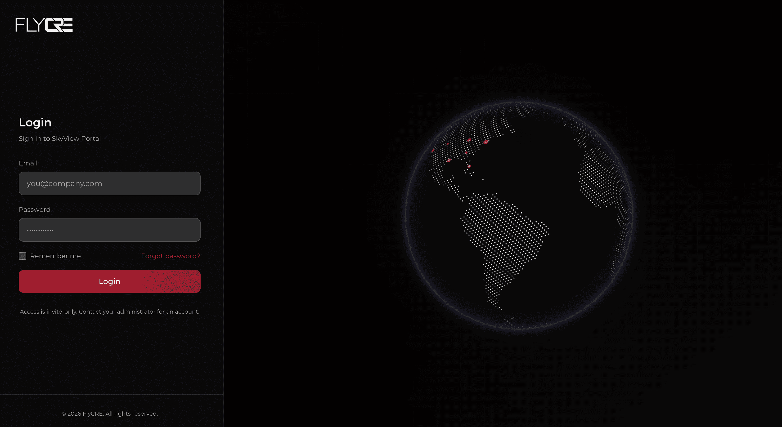
FLYCRE runs three distinct experiences on one backend, so work flows cleanly from request to finished rendering without ever leaving the platform. A client adds their properties and submits an inspection request from their own portal. That request lands in the admin portal, where a FLYCRE administrator reviews it and assigns one or more pilots to the property. Each assigned pilot sees the mission appear in their own portal alongside the rest of their schedule, flies the job, and uploads the captured drone footage directly through the platform.
That upload is where the interesting engineering lives. Rather than hand footage off to some external service, we integrated and self-host the processing software that transforms it. Uploaded footage is run through that pipeline and turned into a true 3D rendering of the flown site, complete with thermal maps, elevation data, and the other metrics a commercial real estate client cares about. When processing is complete, the finished footage and rendering appear back in the client's portal, closing the loop. Because all three portals and the pipeline share one backend, nothing is lost in handoffs: the request, the assignment, the flight, the upload, and the final deliverable are all one connected flow.
Outcome
FLYCRE replaced scattered, manual coordination between clients, pilots, and admins with a single platform that carries a job from request all the way to a finished 3D rendering. Clients request and receive processed results in one place, admins assign and oversee work from one view, pilots manage and deliver their missions from another, and the self-hosted pipeline turns raw footage into real commercial real estate intelligence automatically.
Building something multi-sided?
Tell us what you're trying to connect, and we'll help you shape it.